Skip to content
AV ScannerNews
FeedMapAreasScanner Codes
Submit a Tip
LIVE0 posts today · Latest: 11-79 — Southbound 14 between Ward Road and Escondido Canyon — red…Synced now
AV Scanner News

Antelope Valley's source for real-time incident tracking, scanner codes, and community news.

admin@avscannernews.com
Get the app
Download on theApp StoreGET IT ONGoogle Play

Categories

  • Crime
  • Accident
  • Community
  • Missing Person
  • Fire
  • Traffic
  • Weather
  • General

Quick Links

  • Contact Us
  • Latest Posts
  • Scanner Codes
Lancaster Sheriff Station(661) 948-8466Palmdale Sheriff Station(661) 272-2400City of Lancaster(661) 723-6000City of Palmdale(661) 267-5100CHP After Hours(323) 259-3200CHP AV(661) 743-6060

© 2026 AV Scanner News. All rights reserved.

PrivacyTermsBuilt by Kernforge
FeedMapCodesTip
← BACK TO FEED
Fire

Engine 129 on scene of a vegetation fire on Division between Avenue L and M — advised approximately 100 feet of grass on fire along a fence line
Mon, Aug 10, 2026 · 10:59 PMNO LOCATION EXTRACTED
Engine 129 on scene of a vegetation fire on Division between Avenue...
Dispatch TextPARSED · 2 SEGMENTS
01

Engine 129 on scene of a vegetation fire on Division between Avenue L and M

02

advised approximately 100 feet of grass on fire along a fence line

VIEW RAW SCANNER TEXT

Engine 129 on scene of a vegetation fire on Division between Avenue L and M....advised approximately 100 feet of grass on fire along a fence line
More in Fire
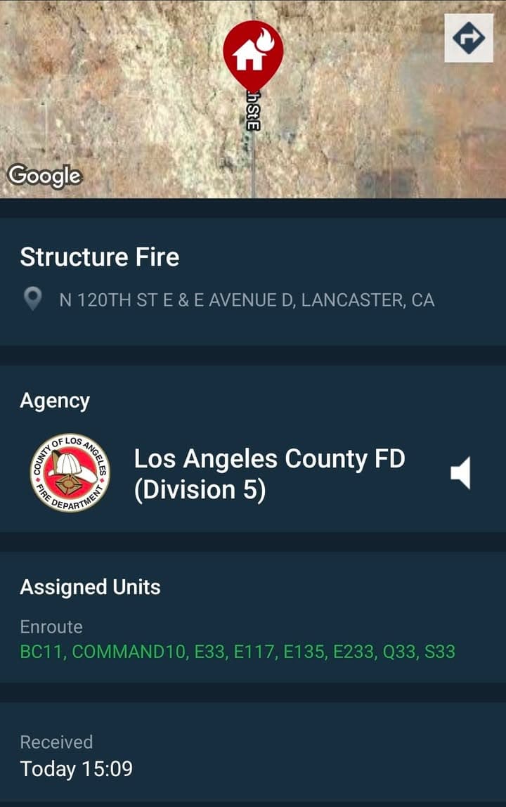
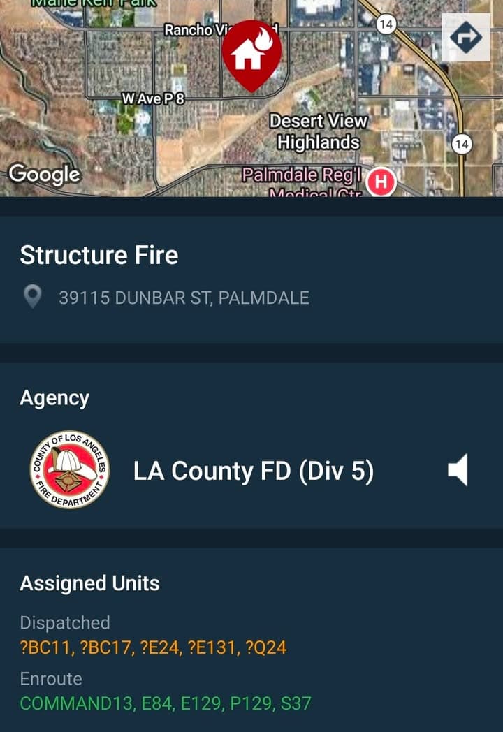
4:27 PM9h agoFireRosamondJARVIS FIRE — ANTELOPE ACRES W Avenue G & 85th Street West……Firefighters are battling a vegetation fire estimated at 30–50 acres, burning to the northeast at a moderate rate of spread. The fire has the potential to reach 100 acres within the next 40 minutes, per Incident Command. Earlier reports indicated the fire was spreading rapidly through light fuels with structures threatened. A 2nd Alarm response has been requested. FIREFIGHTER INJURED: A firefighter from Engine 112 has suffered burn injuries while battling the fire and will be transported to a burn center. Additional resources are responding to the incident. UPDATE: Evacuation Warnings have been issued for Zones LAN-E001 & LAC-E1639, per the Genasys Evacuation Map. These Zones are also visible on the Watch Duty map. The fire is now approximately 200 acres. 1 Air Attack and 2 Airtankers have been requested, per radio traffic. UPDATE 2: The fire is now approximately 300-400 acres. It has jumped Avenue F and is bumping 70th St W. A 3rd Alarm response has been requested, per radio traffic. UPDATE 3: (5:45PM) The fire has been mapped at 362.0 acres by FIRIS OES Intel 243:31 PM10h agoFireLancasterVEGETATION FIRE — AVENUE A / 55TH STREET WEST LANCASTER — Los……Angeles County Fire and Kern County fire resources are responding to a reported vegetation fire near Avenue A and 55th Street West, along the Los Angeles/Kern County line. Both counties are sending a brush response to the area. No units are currently on scene, so the size and conditions of the fire are unknown. It is also not yet clear whether the incident will ultimately be handled by Los Angeles County or Kern County. UPDATE: Kern units on scene, advise fire is on both sides of Avenue A on both sides of the county. UPDATE 2: Kern has forward progress stopped. Would like to cancel LA County and handle12:59 AM1d ago904ACrime+ FireLargo Vista Road and Avenue Z-4 (Pretty O Ranch Rd) — motorhome……on fire — sheriff and FD enroute code 3
SourceView original post on Facebook
PostedAug 10, 10:59 PMImportedAug 10, 11:01 PMCategoriesAuto · FireLocationNot extracted